

By Saad Iqbal
Right now, somewhere above the Permian Basin, a satellite is scanning for something the naked eye could never catch: a faint, telltale absorption in reflected sunlight, the fingerprint of methane escaping into the air. It has no idea whether the source is a corroded valve, a stuck flare, or a storage tank that was never quite sealed. It just measures light. Turning that measurement into a phone call to the right engineer, at the right facility, in time to matter, is the job AI has quietly taken on over the last two years, and it is reshaping how the oil and gas industry gets caught leaking, and how fast it can fix what’s wrong.
This is not a hypothetical. It is happening, continuously, across a growing constellation of satellites feeding a detection system built by the United Nations Environment Programme.
The Firehose Nobody Could Drink From
For years the obstacle to catching methane leaks wasn’t a lack of eyes in the sky, it was too many. Since 2023, more than 30 satellites, commercial, government, and philanthropic, have been staring down at oil and gas basins, generating over 1.3 million individual observations of the atmosphere above well pads, pipelines, and processing plants. Methane is an unusually rewarding thing to hunt from orbit: it is roughly 80 times more potent a greenhouse gas than carbon dioxide over a 20-year span, though it breaks down in the atmosphere in about a decade, which means every leak plugged has an outsized, fast effect on warming.
The problem was never seeing the data. It was reading it. A human team sifting through more than a million satellite passes, looking for the handful of readings that represent an actual leak worth calling someone about, is a losing proposition. By the time a person spots it by hand, the leak might have been venting for weeks.
Teaching a Model to Notice
That is the gap the UN’s International Methane Emissions Observatory, known as IMEO, built its Methane Alert and Response System, or MARS, to close. Fully operational since 2024, MARS runs lightweight, energy-efficient AI models over the incoming satellite firehose, and according to IMEO, the software now processes somewhere around 12 to 15 times more data than a human analyst team could manage on the same budget of time and attention.
The AI does not get the final word. But it does the triage: somewhere between 80 and 85 percent of the methane detections MARS eventually acts on are first surfaced by the model, before any person lays eyes on them. Martin Krause, who directs UNEP’s Climate Change Division, put it plainly: “The real lesson from this work is that AI can help convert the explosion of environmental data into practical action.” That is a modest way of describing what is, functionally, a triage nurse for the planet’s atmosphere, deciding which readings are worth waking someone up for.
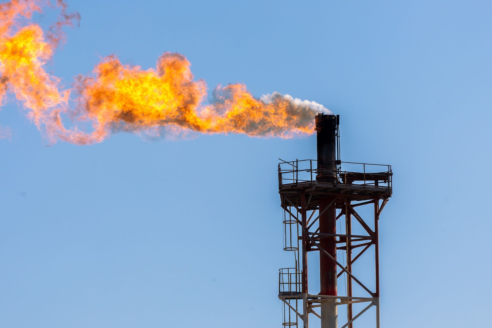
The Human Still Has to Sign Off
What is notable about how IMEO built this system is what the AI is not allowed to do. Every detection the model flags is independently checked by an IMEO analyst before anyone outside the organization, a government, an operator, the public, is notified. The model proposes; a person disposes. That single design choice is arguably the most important detail in this entire story, because it is the difference between a system operators can trust and a black box that cries wolf.
The results, filtered through that human checkpoint, are no longer trivial. IMEO reports more than 40 methane mitigation actions have been triggered worldwide since MARS went live, real leaks, at real facilities, fixed because a satellite, a model, and an analyst agreed something was wrong. The identified sources add up to roughly 1.2 million tonnes of methane mitigated, which UNEP estimates is climatically equivalent to taking 24 million gasoline-powered cars off the road for a year. IMEO is also publishing its datasets and code openly, and has begun expanding the same detection pipeline beyond oil and gas into coal mining and waste sites.
What Happens When a Satellite Dies
Any story about space-based monitoring needs a dose of humility, and 2025 supplied it. MethaneSAT, a purpose-built satellite backed by the Environmental Defense Fund and Google, developed with Harvard University and the Smithsonian Astrophysical Observatory, launched on a SpaceX Falcon 9 in March 2024, lost contact with ground controllers and was declared a loss barely a year into its mission. It had been designed to combine with Google’s mapping tools to produce one of the most detailed public maps yet of global oil and gas infrastructure prone to leaks.
Losing a single, purpose-built satellite would once have meant losing the whole vantage point. It did not, and that is the real story here: the detection system that matters now is not any one satellite, it is the redundancy of the fleet. GHGSat, Carbon Mapper, the European Space Agency’s Sentinel-5P, and government weather satellites in NOAA’s GOES series all continue to independently observe the same fields MethaneSAT once watched. The AI layer sits above all of them, agnostic to which spacecraft the photons came from. A constellation approach, many imperfect, overlapping instruments plus a model that can fuse and prioritize their output, turns out to be sturdier than any single, more capable satellite. That is a lesson with obvious echoes for how oil and gas operators think about redundancy in their own sensor networks on the ground.
Why This Changes the Incentives for Every Operator
For an industry that has spent decades treating methane leaks as an invisible, low-consequence cost of doing business, this changes the calculation. A leak that used to be undetectable, or detectable only through an expensive, occasional helicopter survey, now sits inside the field of view of a system that runs continuously and gets faster every year. Detection-to-notification cycles that once took months increasingly take days. Investors, regulators, and customers buying gas marketed as lower-emission are all reading the same public data IMEO releases.
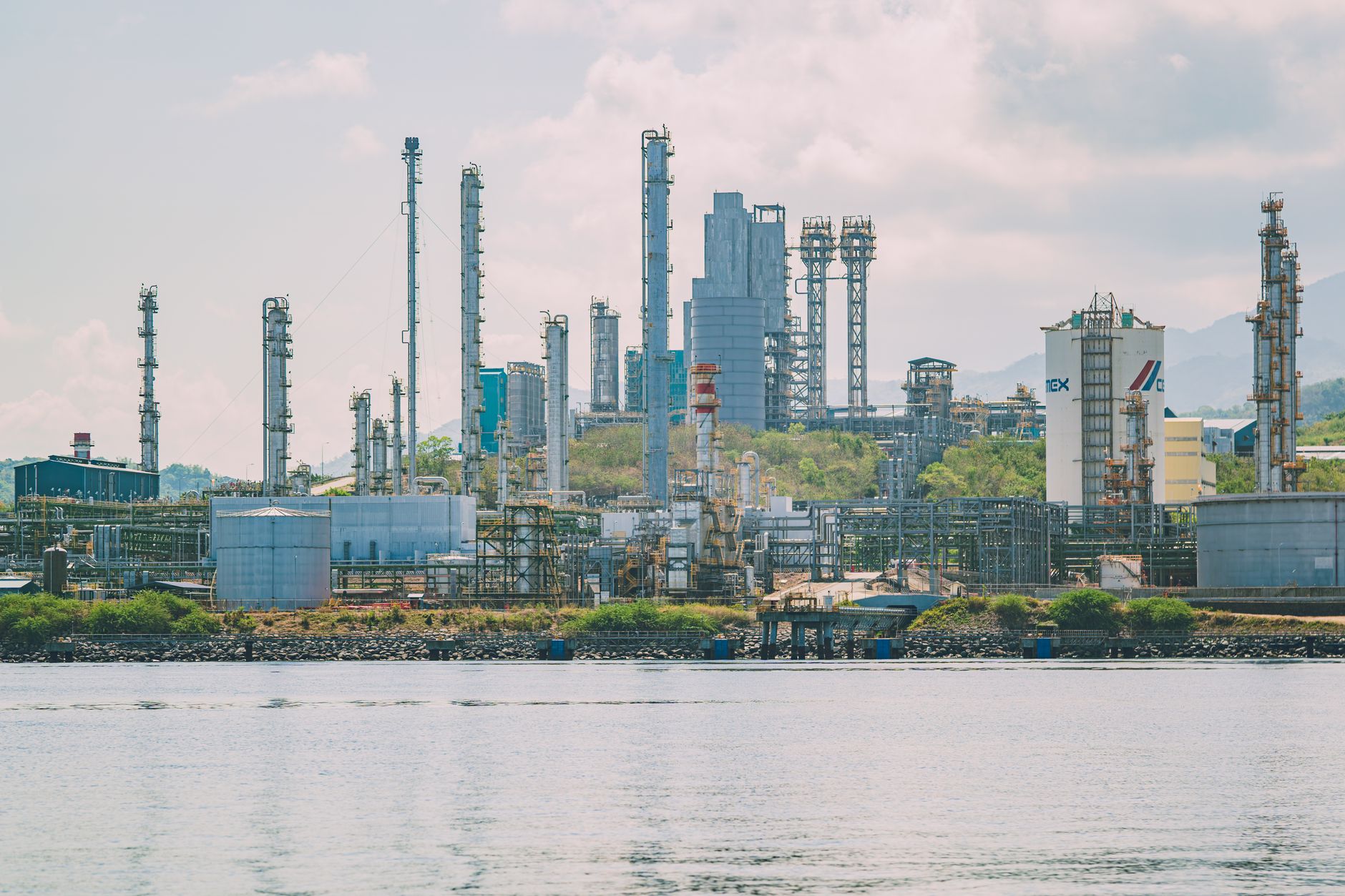
The commercial logic lines up too: a leaking valve is unsold product venting into the sky. Every mitigation action MARS has triggered has, in effect, paid for the sensors and software that found it. That is a rare case where the climate case and the balance-sheet case for adopting AI-driven monitoring point in exactly the same direction, which is likely why more operators are choosing to be notified proactively rather than risk being named in a public report first.
The Bigger Pattern
Methane detection is a clean example of something happening across the wider energy industry: AI’s most valuable current role is not dreaming up a decision on its own, it is triaging an ocean of low-signal sensor data down to the handful of readings that actually deserve human judgment. The same shape shows up in predictive maintenance on compressors and pumps, in AI-assisted seismic interpretation, in automated review of pipeline inspection footage and drone imagery. In every case the pattern matches MARS: a flood of sensor data, a model trained to spot the signal, and a human who still has to say yes before anything happens in the physical world.
That last part is worth remembering the next time a vendor pitches fully autonomous AI for anything safety- or environment-critical. The systems actually working today, at scale, in production, keep a person in the loop on purpose, not as a limitation to be engineered away. The satellites over the Permian Basin, and every other basin on Earth, will keep watching. The question the industry now has to answer is not whether it is being watched, it clearly is, but how quickly it closes the loop once the alert comes down.
